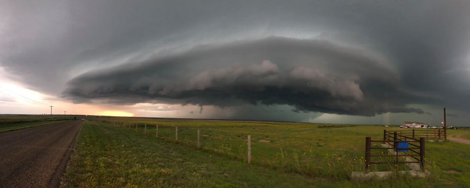
Storms spawn tornados and multiple floods Saturday night in SW Kansas

Photo Credit: Trevor Leeper-Storm Chaser
Strong storms on Saturday night produced two tornados and multiple floods across portions of southwest Kansas.
The first tornado warning was issued around 5:15 p.m. MDT for southeastern Greeley County. The storm briefly produced a tornado in Northern Greeley County.
The second tornado warning was issued for northeastern Grant County at 7:45 p.m. The storm produced a brief tornado that touched down nine miles northeast of Ulysses.
The storms also produced heavy rains that led to flash flooding in Kearny, Grant, Ford, Greeley and Wichita counties. The floods were washing over highways and several county roads in Kearny and Grant counties. The heaviest rainfall report was 7″ in Grant county 10 miles to the NE of Ulysses. A report of 5.1″ was recorded 2 miles North of Dodge City and 4.8″ was recorded 9 miles South of Lakin in Kearny County. Ulysses had a report of 3.52″ and there was a report of 3.7″ 2 miles NW of Ft. Dodge.
There were also several reports of hail across SW Kansas including a report of 2″ hail 6 miles North of Hickok in Grant county.
*photo taken by Trevor Leeper-Storm Chaser


