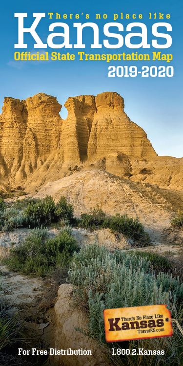
New 2019-2020 Kansas transportation maps available

(Story courtesy of the Kansas Department of Transportation)
TOPEKA, Kan. — Whether you want to find the closest airport, discover new places of interest or travel along a Scenic Byway, the new 2019-2020 Kansas Official State Transportation Map has it all.
The map, published by the Kansas Department of Transportation, highlights numerous tourist and scenic locations, including state parks and lakes, as well as the recreation areas across the state.
City/county indexes and a distance map allow motorists to pick the best route to their destination. Visitor resources, helpful phone numbers/websites and locations of museums and hospitals are also provided.
On the back of the map are inset maps of Kansas City, Wichita, Topeka and 13 other cities. There is also road condition information and details on how to get roadside assistance.
Maps will be available at various travel information centers, attractions and other locations across the state. They can also be requested on the KDOT website at http://www.ksdot.org/maps.asp.


